Mapping Kelp Canopy: A Critical Next Step Toward Recovery
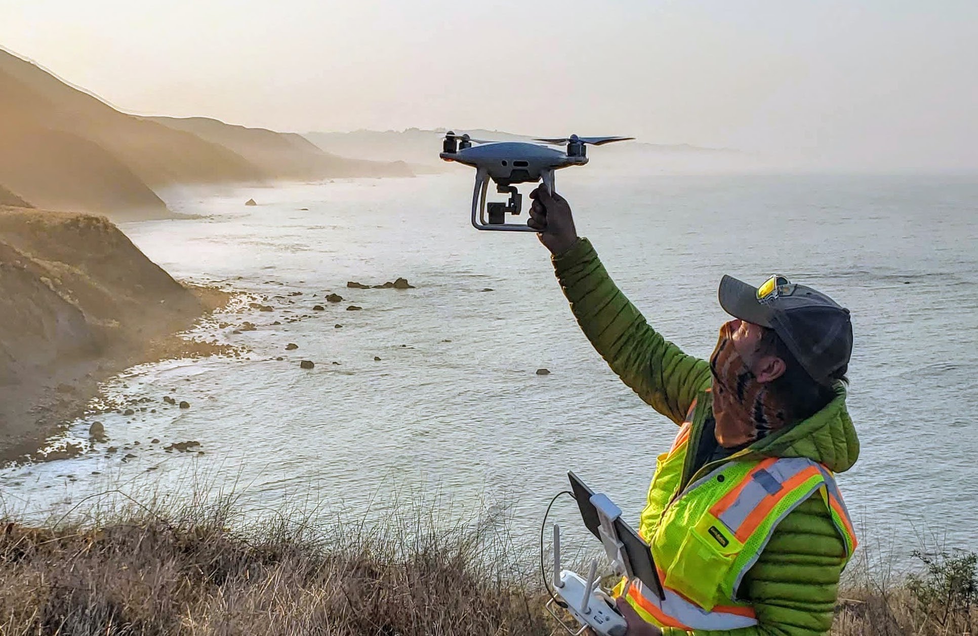
Last fall, our Kelp Recovery Program co-led a collaborative kelp canopy mapping project along the Sonoma-Mendocino coastline to map over 4,000 acres of coastal ocean habitat using uncrewed aerial vehicles (UAVs; aka aerial drones). The areas mapped are ones identified in the Sonoma-Mendocino Bull Kelp Recovery Plan (Kelp Recovery Plan) as regions of high potential for kelp forest recovery. The project is currently the largest marine mapping project using aerial drones to ever take place in California. Partners included NOAA’s Greater Farallones National Marine Sanctuary, NOAA’s Center for Coastal and Marine Ecosystems Program, The Nature Conservancy, and several academic institutions.
This is the second year of mapping kelp recovery sites in the Kelp Recovery Plan and will contribute to a west coast kelp assessment study supported by the National Marine Sanctuary Foundation. Sites were mapped using high-resolution RGB (red/green/blue) cameras and multispectral sensors. Imagery from each kelp recovery site has been stitched to form a two-dimensional orthomosaic and The Nature Conservancy is currently classifying and quantifying kelp canopy for each site. The results will help provide the first comprehensive assessment of regional kelp beds on the north coast since 2016 and will help focus kelp recovery efforts on the north coast of California, where greater than 90% of kelp forest habitat has been lost.
Learn more about the Kelp Recovery Program.
The Greater Farallones Kelp Recovery Program is a partnership between the Greater Farallones Association and Greater Farallones National Marine Sanctuary and seeks to implement strategies outlined in the Sonoma-Mendocino Bull Kelp Recovery Plan to address the severe loss of kelp forests in northern California.
Photo credit: Abby Nickels, GFA