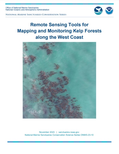
Remote Sensing Tools for Mapping and Monitoring Kelp Forests along the West Coast
This report evaluates the capabilities and practical applications of satellite imagery, plane-based aerial imagery, and uncrewed aerial systems, with specific recommendations to increase the capacity of resource managers to acquire data and support analysis conducive to adaptive management of kelp forests.
