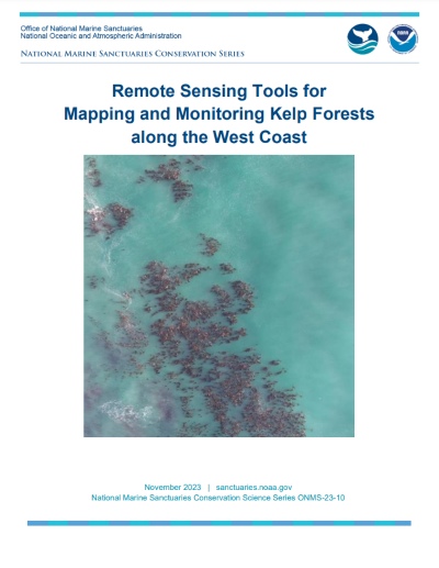
20 Dec Remote Sensing Tools for Mapping and Monitoring Kelp Forests along the West Coast
This report evaluates the capabilities and practical applications of satellite imagery, plane-based aerial imagery, and uncrewed aerial systems, with specific recommendations to increase the capacity of resource managers to acquire data and support analysis conducive to adaptive management of kelp forests.


Sorry, the comment form is closed at this time.